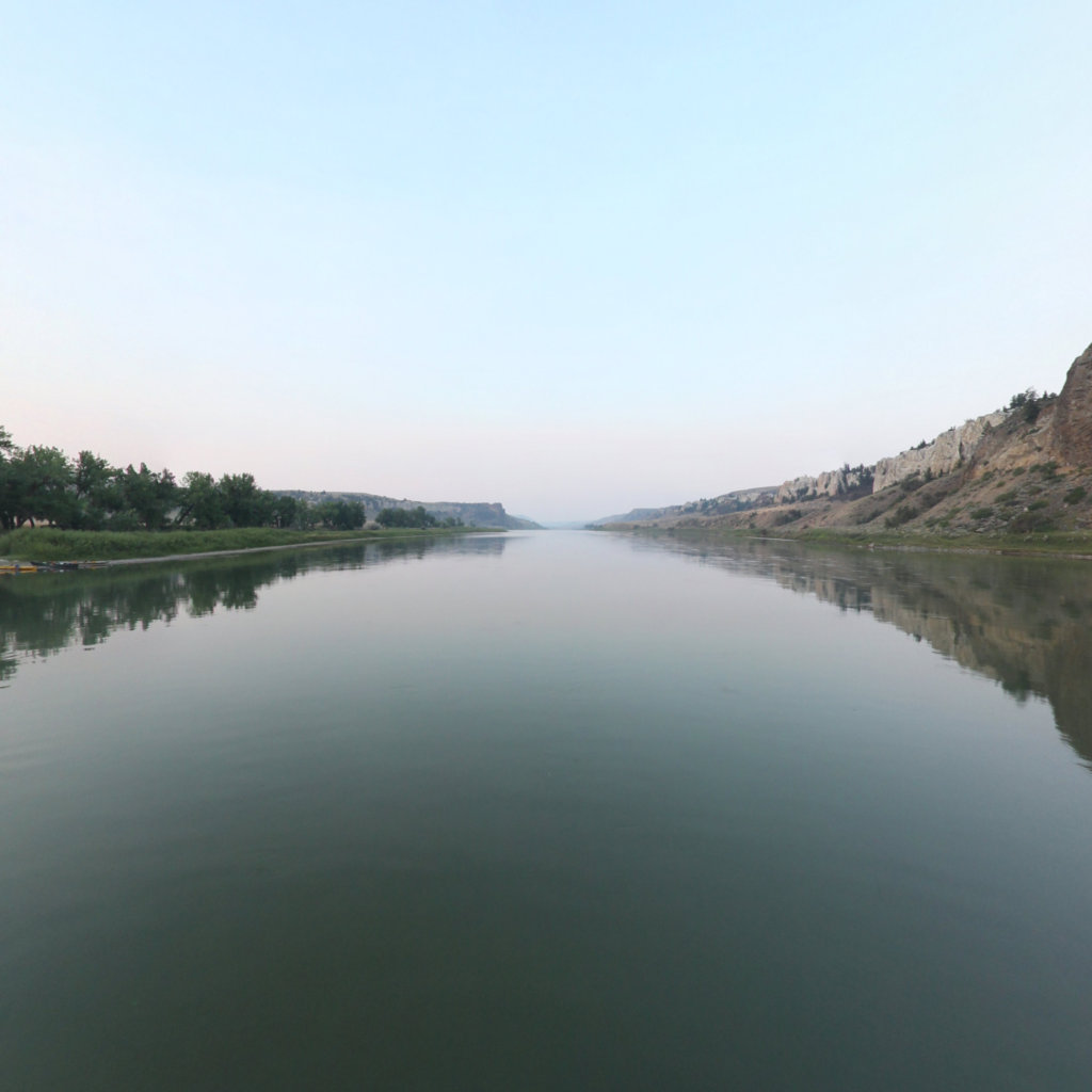
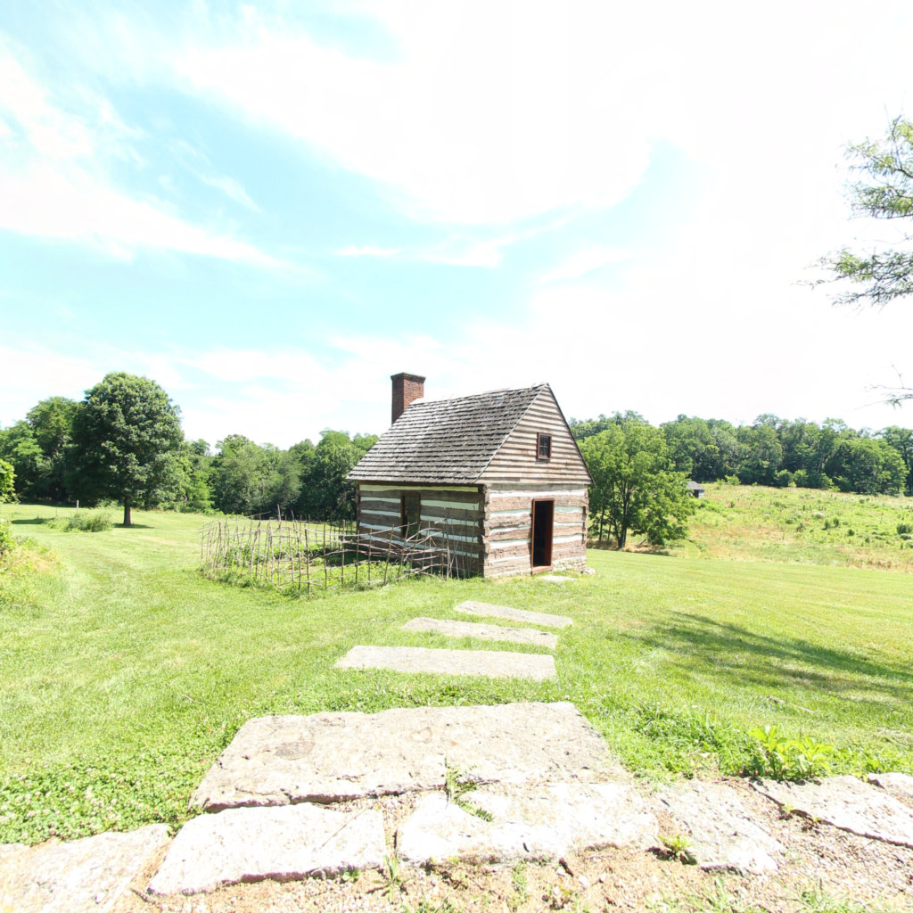
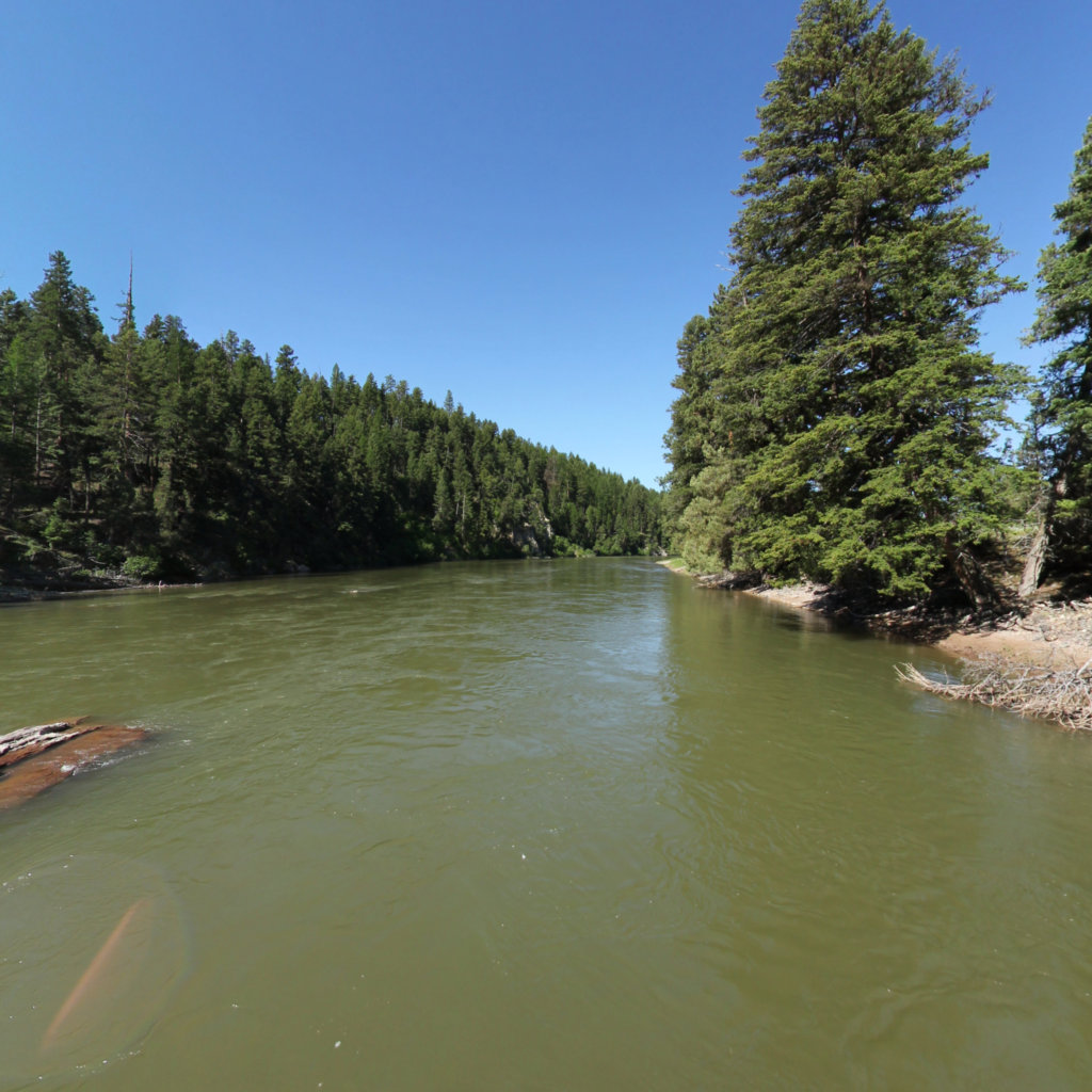
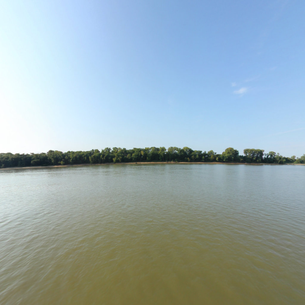
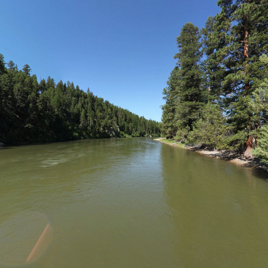
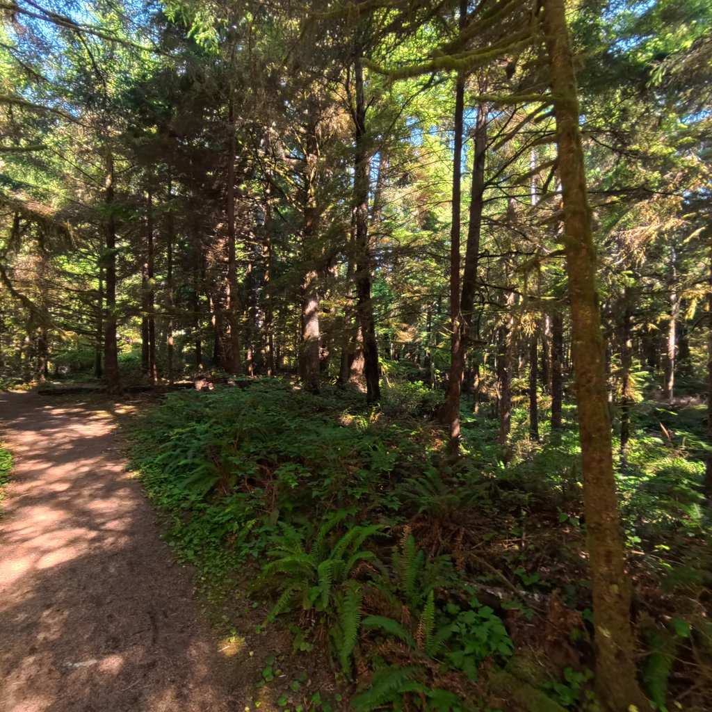
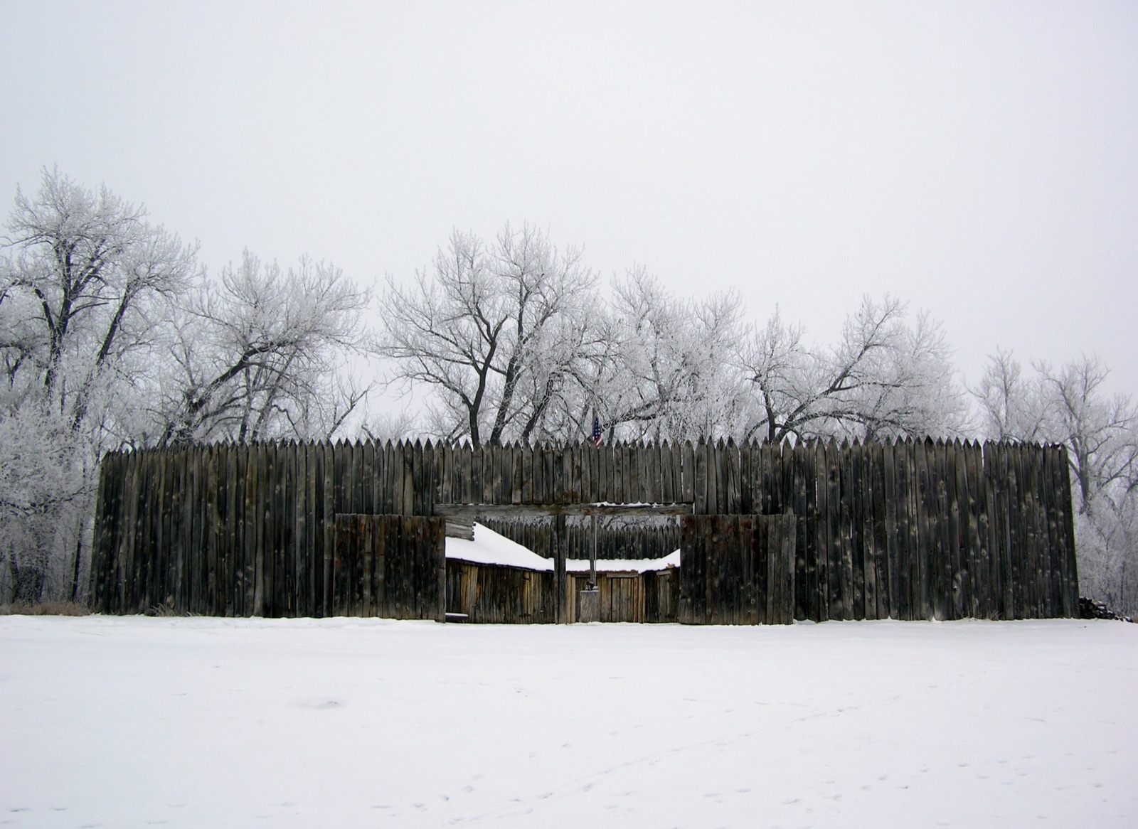
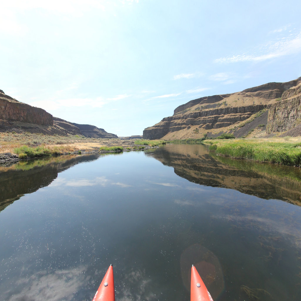
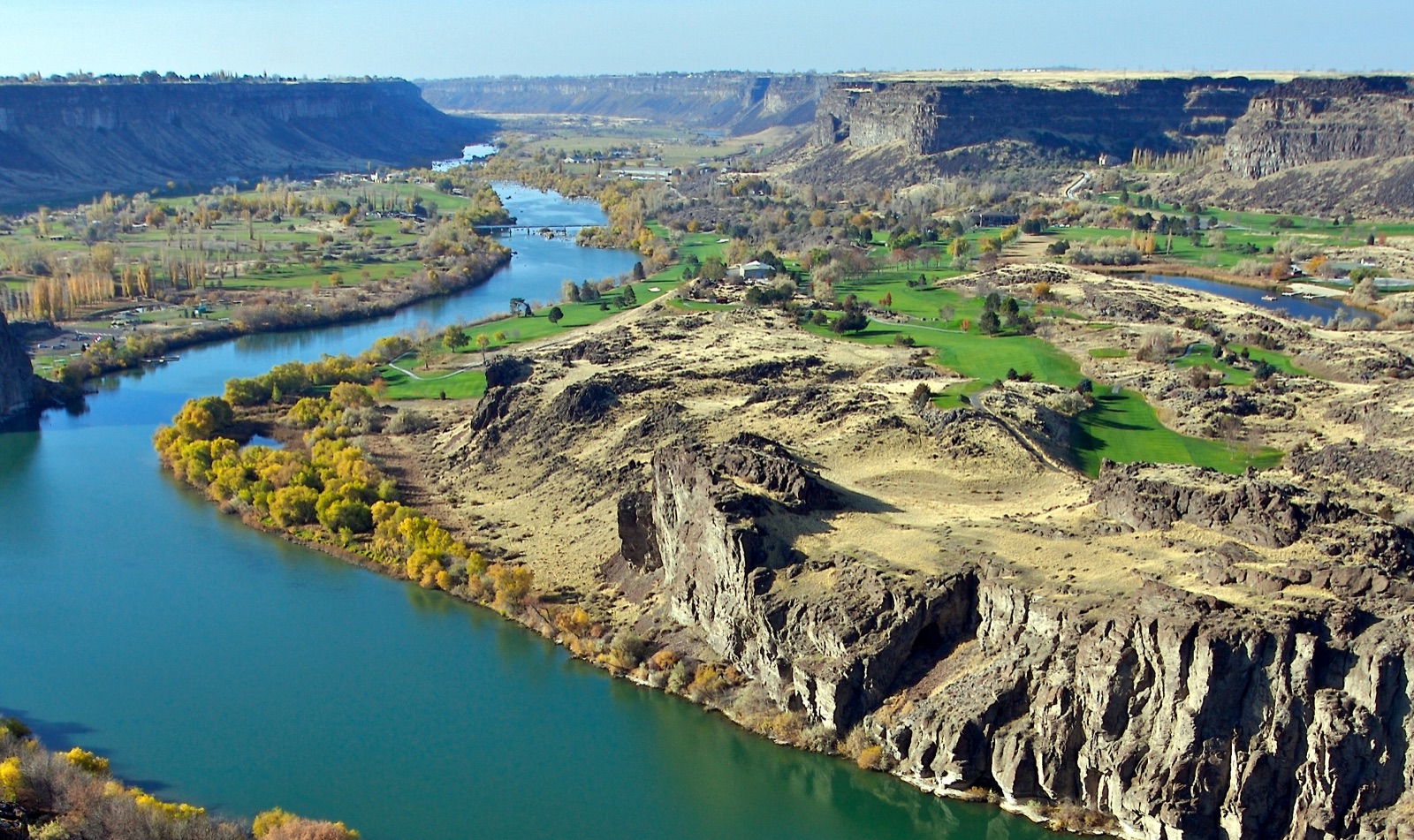
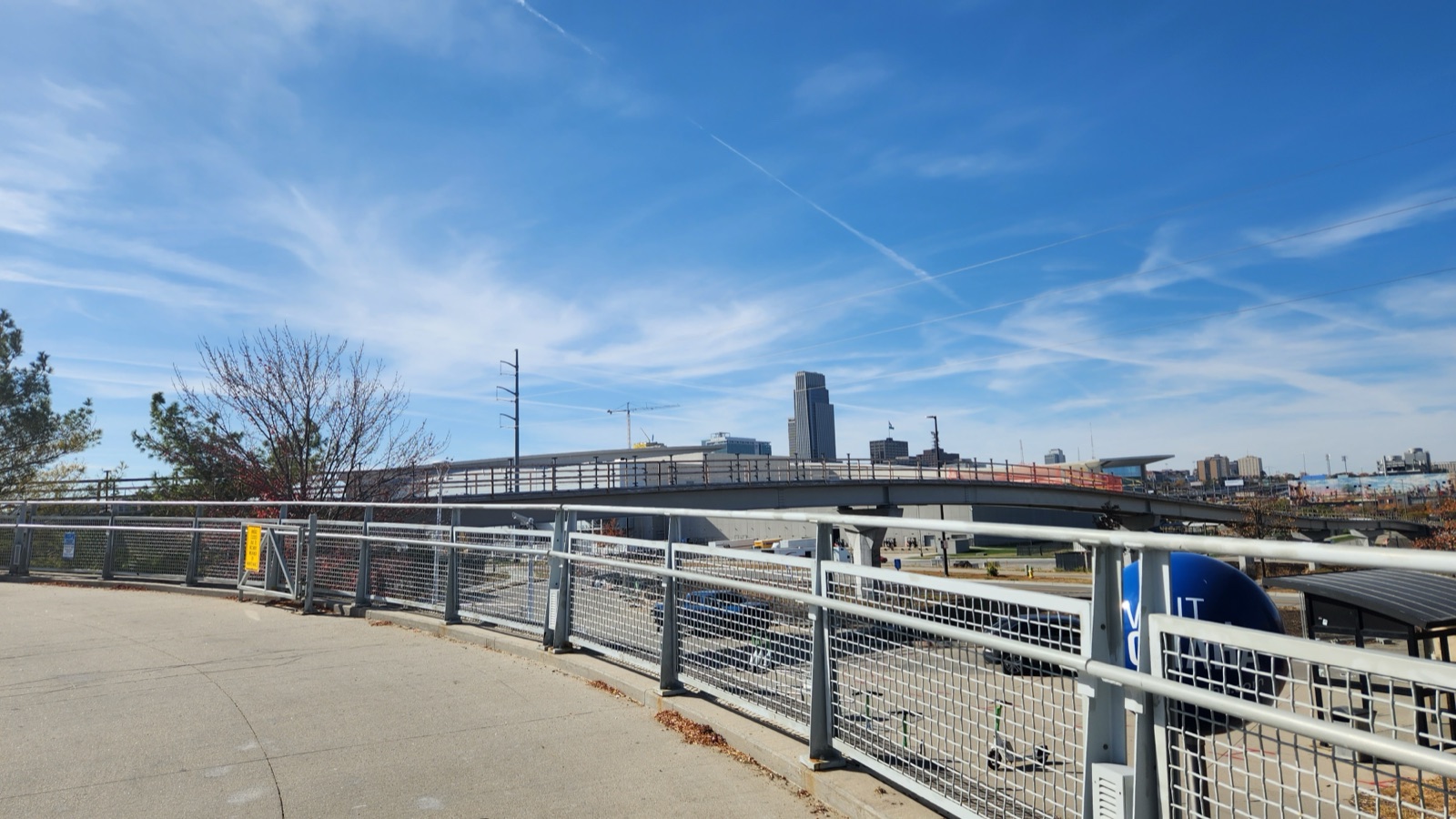
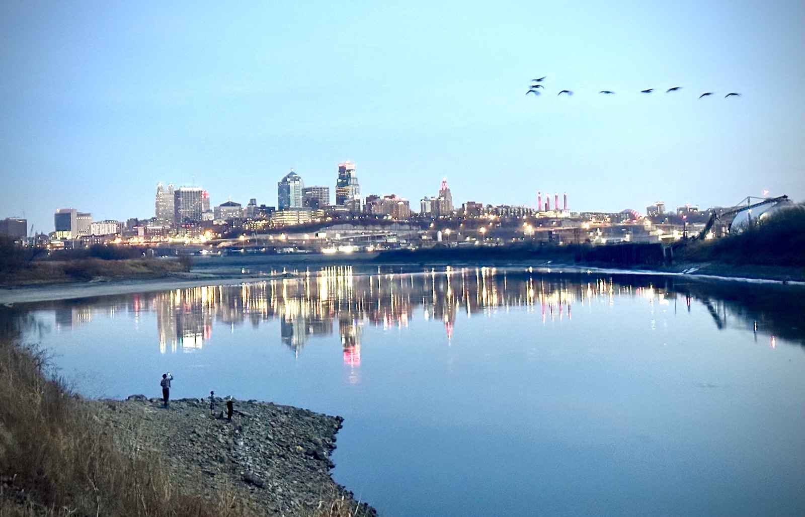
Along the Lewis & Clark National Historic Trail sit a dozen military installations. The rivers and trails that carry the public also form the buffer that protects each installation’s mission. That overlap is the opportunity: the same acre can serve readiness, conservation, and recreation at once.
REPI and RARI exist for exactly this ground. REPI (Readiness and Environmental Protection Integration) funds conservation easements and land purchases from willing sellers, cost-shared with land trusts and states. RARI (the Readiness and Recreation Initiative) layers Land and Water Conservation Fund dollars on top to build the public side: parks, trail connections, boat ramps, and river access on the land that protection keeps open. Two corridors already sit inside designated Sentinel Landscapes; the rest are candidates.
Terrain360’s continuous 360° imagery supports the case. It records baseline conditions and the public value of each reach in a form grant reviewers, partners, and the public can see. The model starts here and extends to every National Historic Trail in the system.