Limestone Hills / Fort Harrison · Montana · LCNHT core
Limestone Hills Training Area / Fort Harrison
"Gates of the Mountains", named by Lewis, July 19, 1805.
Blackfoot River · Lewis & Clark Pass region · MT
Corridor narrative
Why protect this corridor.
Limestone Hills Training Area near Townsend and Fort Harrison near Helena bracket one of the most scenic stretches of the Missouri, Canyon Ferry Reservoir into the dramatic limestone walls Lewis christened the Gates of the Mountains. Three reservoirs (Canyon Ferry, Hauser, Holter) link 81 river miles of LCNHT-direct corridor before the river runs free toward Cascade.
Adding the Helena-Lewis & Clark National Forest OHV/UTV systems and the Continental Divide National Scenic Trail through the Lewis & Clark Pass region gives this corridor the deepest stack of historic and recreational assets in the program: a Missouri-River LCNHT mainstem, a CDNST historic-trail crossing, and four established marinas/launch areas.
Fort Harrison already holds REPI buffer status, with the Prickly Pear Land Trust as its established conservation partner — which means the protection infrastructure is in place and willing-seller easements along the Canyon Ferry reaches are the logical next step. Keeping the Gates of the Mountains shoreline and the CDNST crossing open and publicly accessible is the primary outcome; 360° documentation of the corridor supports REPI reporting, CDNST program records, and the interpretive case for both trails.
Lewis & Clark connection
Directly on the LCNHT Missouri River corridor. Gates of the Mountains (named by Lewis, 1805), Canyon Ferry, Hauser and Holter reservoirs are all bona fide Missouri-River LCNHT assets.
Directly on the LCNHT Missouri River corridor. Gates of the Mountains was named by Meriwether Lewis on July 19, 1805. Canyon Ferry, Hauser, and Holter reservoirs are all bona fide Missouri-River LCNHT assets. The CDNST near Lewis & Clark Pass adds a historic trail-crossing tie-in.
Limestone Hills is ~3 mi W of Townsend; Fort Harrison ~41 mi NW near Helena. CDNST near Lewis & Clark Pass adds a historic trail-crossing tie-in.
See the ground
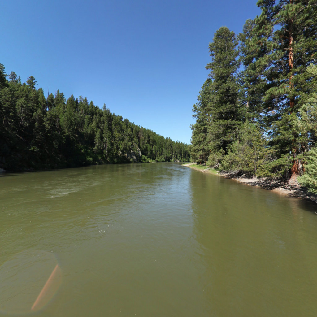
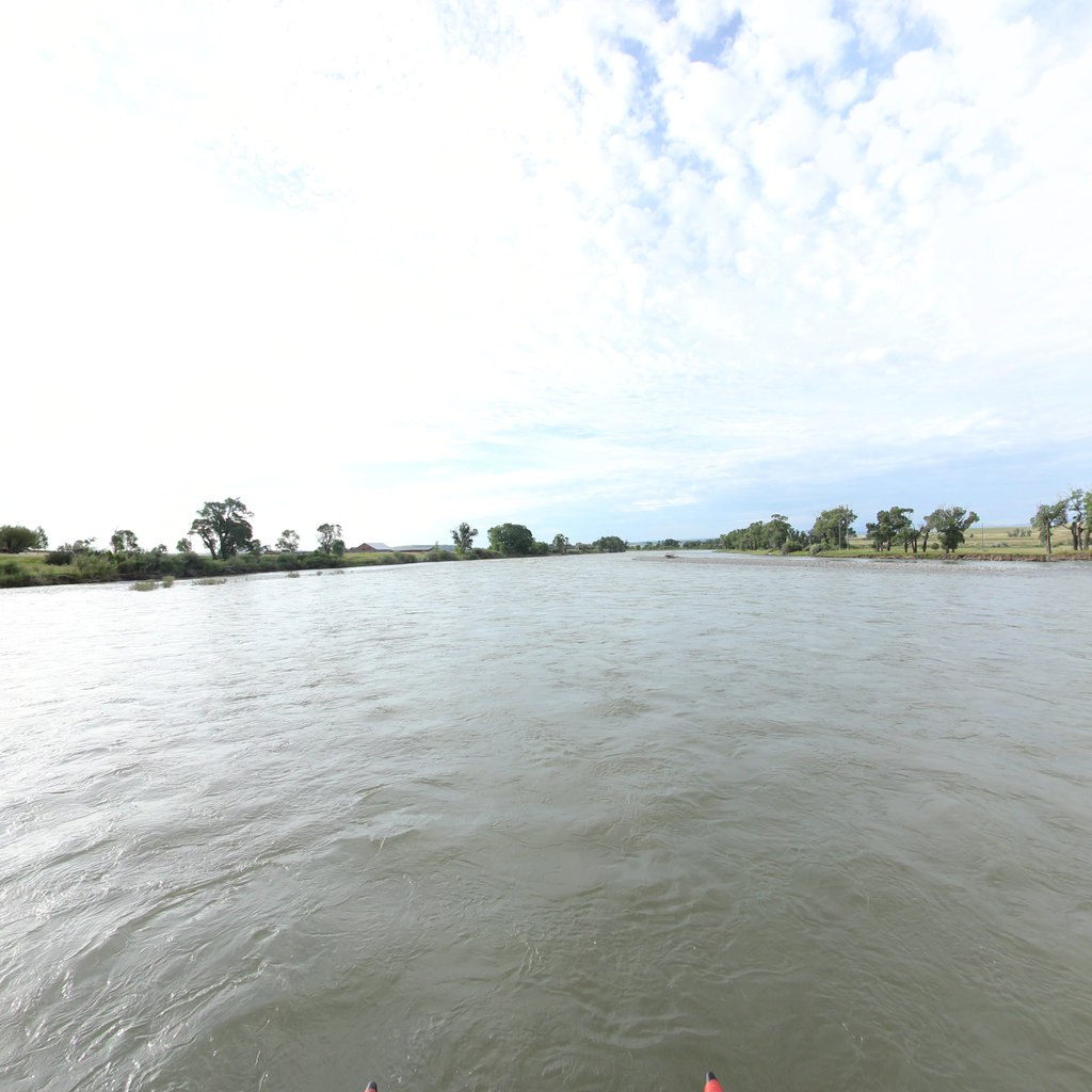
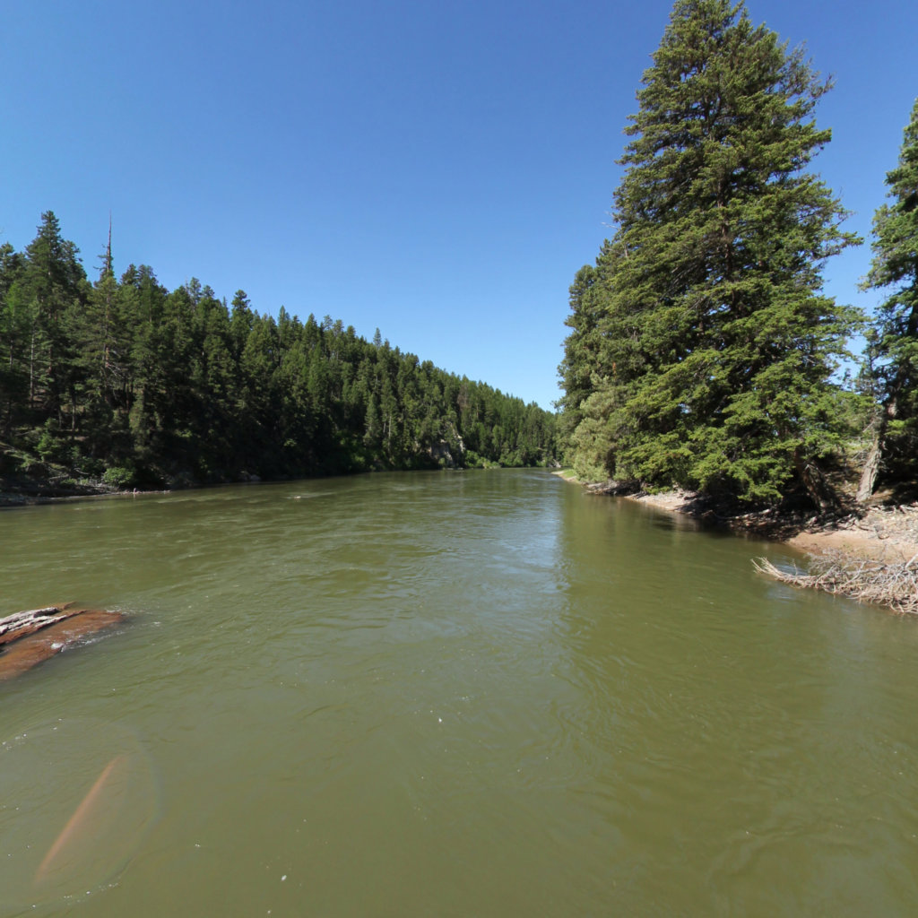
What's at stake, from the water: Clearwater to Dunnigan Gulch, Blackfoot River MT.
Existing Terrain360 imagery from a nearby reach — a preview of the public-access value that buffer protection along the Limestone Hills Training Area / Fort Harrison corridor would keep open.
The documentation layer
The record that backs the protection case.
Protecting the corridor is the goal; this is the documentation that supports it — baseline conditions and public-access value the partnership can reuse for REPI reporting, grant applications, and outreach.
Geo-referenced baseline dataset
Equirectangular panoramas + GPS tracks delivered to the installation INRMP team and the NPS Trail Office — documenting baseline conditions for REPI reporting, ESA Section 7, easement monitoring, and outreach.
Hosted 360° portal
Web-based interactive map showing pan-and-explore imagery of both riverbanks and every mapped trail. Mobile + desktop. Embeddable in any partner site.
Printable corridor maps
Asset index keyed to the imagery - suitable for visitor information, grant deliverable documentation, and partner co-branding.
L&C interpretive layer (optional)
Waypoint overlay tying the corridor to journal entries and historic sites - Tower Rock, Gates of the Mountains, the Falls portage, the Pacific arrival.
Asset inventory
What the corridor protects.
Each row is a recreation asset inside the buffer corridor — the public access and habitat a REPI/RARI easement would keep open.
| Recreation asset | Type | Miles | LCNHT | Access |
|---|---|---|---|---|
| Canyon Ferry Reservoir shoreline ~3–5 mi | River | 30 | Direct | Public |
| Missouri River — Gates of the Mountains (Holter) ~20 mi N of Helena | River | 24 | Direct | Public |
| Hauser Reservoir ~13 mi E of Helena | River | 15 | Direct | Public |
| Holter Lake ~30 mi N of Helena | River | 12 | Direct | Public |
| Missouri River — Holter Dam to Cascade (Craig reach) ~35–50 mi N | River | 35 | Near | Public |
| Dearborn River — Hwy 434 to Missouri confluence ~50 mi N | River | 19 | Near | Public (confluence only) |
| Continental Divide NST — Helena Ranger District Helena vicinity | Trail | 67 | Near | Public |
| OHV/UTV route network — Helena-Lewis & Clark NF Helena/Elkhorn | Trail | 40 | Near | Public |
| Hellgate Ridge Trail (multi-use/OHV) Helena vicinity | Trail | 8 | None | Public |
| Strawberry Ridge Trail #311 Helena vicinity | Trail | 6 | None | Public |
| Mount Helena trails In/near Helena | Trail | 8 | None | Public |
| Black Sandy State Park (Hauser Lake ramp) ~13 mi E of Helena | Access | - | Direct | Public |
| The Silos Recreation Area & Marina (Canyon Ferry) Near Townsend | Access | - | Direct | Public |
| Indian Road Recreation Area (S. Canyon Ferry) Near Townsend | Access | - | Direct | Public |
| Gates of the Mountains Marina ~20 mi N of Helena | Access | - | Direct | Public |
Corridor map
Satellite view of the corridor footprint with the installation, its REPI buffer, and the recreation assets that protection keeps open.
The corridor up close