Naval Support Activity Crane · Indiana · Near-corridor
Naval Support Activity Crane
Indiana's deepest OHV systems, near-corridor to the Trail.
Ohio River · Evansville to Henderson reach · IN/KY
Corridor narrative
Why protect this corridor.
NSA Crane is the only program installation without a direct LCNHT connection, but its 2022 Southern Indiana Sentinel Landscape designation makes it a strategic REPI showcase, and the surrounding recreation density is exceptional. Interlake and Redbird State Recreation Areas, repurposed coal-mine lands, together offer 135 miles of public OHV / UTV trail, the largest such system in Indiana.
The East Fork and West Fork of the White River, plus the Patoka River and Patoka Lake, deliver 74 mappable river miles of public paddling water. The Hickory Ridge Trail System adds 49 miles of hiking through the Hoosier National Forest (OHV is not permitted on Hoosier NF, the OHV inventory comes entirely from the repurposed mine lands).
As the program's near-corridor case study, NSA Crane shows how the REPI / NPS protection model applies even where the historic-trail tie is indirect: the Southern Indiana Sentinel Landscape already designates this ground, willing-seller easements keep the recreation lands and habitat open, and the same 360° documentation builds the public-access record that strengthens the next nomination.
Lewis & Clark connection
No direct LCNHT connection (sits south of the trail). Frame as near-corridor recreation: Indiana's best public OHV systems plus large hiking networks and paddling rivers.
No direct LCNHT connection, NSA Crane sits south of the Trail. The framing for this installation is near-corridor recreation: Indiana's strongest public OHV / UTV systems plus large hiking networks and paddling rivers, captured under the same methodology applied to the LCNHT-direct installations.
OHV is NOT permitted on Hoosier NF; the public OHV systems are repurposed coal-mine lands (Interlake, Redbird).
See the ground
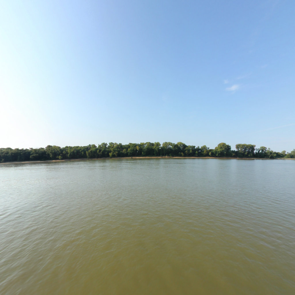
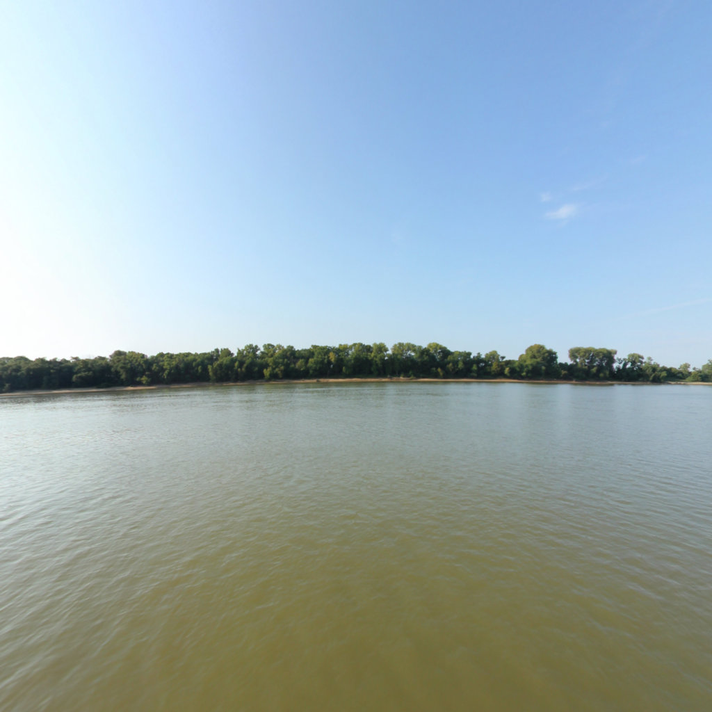
What's at stake, from the water: Evansville to Henderson, Ohio River IN/KY.
Existing Terrain360 imagery from a nearby reach — a preview of the public-access value that buffer protection along the Naval Support Activity Crane corridor would keep open.
Southern Indiana Sentinel Landscape.
Naval Support Activity Crane sits inside a federally designated Sentinel Landscape — a Department of War / USDA / Department of the Interior partnership that aligns military readiness, working-lands conservation, and natural-resource protection on the same geography.
Designation makes this installation eligible to host RARI-funded recreation projects (the NPS-administered Readiness and Recreation Initiative) without satisfying the REPI-POA requirement — a direct funding pathway for protecting and documenting this corridor.
The documentation layer
The record that backs the protection case.
Protecting the corridor is the goal; this is the documentation that supports it — baseline conditions and public-access value the partnership can reuse for REPI reporting, grant applications, and outreach.
Geo-referenced baseline dataset
Equirectangular panoramas + GPS tracks delivered to the installation INRMP team and the NPS Trail Office — documenting baseline conditions for REPI reporting, ESA Section 7, easement monitoring, and outreach.
Hosted 360° portal
Web-based interactive map showing pan-and-explore imagery of both riverbanks and every mapped trail. Mobile + desktop. Embeddable in any partner site.
Printable corridor maps
Asset index keyed to the imagery - suitable for visitor information, grant deliverable documentation, and partner co-branding.
L&C interpretive layer (optional)
Waypoint overlay tying the corridor to journal entries and historic sites - Tower Rock, Gates of the Mountains, the Falls portage, the Pacific arrival.
Asset inventory
What the corridor protects.
Each row is a recreation asset inside the buffer corridor — the public access and habitat a REPI/RARI easement would keep open.
| Recreation asset | Type | Miles | LCNHT | Access |
|---|---|---|---|---|
| East Fork White River — Shoals reach ~12 mi S | River | 11 | None | Public |
| White River (West Fork) — Greene/Daviess reaches ~25 mi W | River | 25 | None | Public |
| Patoka River (upper & refuge reaches) ~35 mi SW | River | 18 | None | Public |
| Patoka Lake shoreline ~35 mi SW | River | 20 | None | Public |
| Interlake Off-Road State Recreation Area (OHV) ~50 mi SW | Trail | 100 | None | Public (permit) |
| Redbird Off-Road State Recreation Area (OHV) ~22 mi SW | Trail | 35 | None | Public (permit) |
| Hickory Ridge Trail System (Hoosier NF) ~35 mi E | Trail | 49 | None | Public |
| Martin State Forest trails ~12 mi S | Trail | 8 | None | Public |
| Patoka Lake trails ~35 mi SW | Trail | 12 | None | Public |
| Shoals public access ramp (East Fork White R.) ~12 mi S | Access | - | None | Public |
| Hindostan Falls (Martin SF) ~12 mi S | Access | - | None | Public |
| West Boggs Park (boat ramps) ~15 mi NW | Access | - | None | Public |
Corridor map
Satellite view of the corridor footprint with the installation, its REPI buffer, and the recreation assets that protection keeps open.
The corridor up close