Joint Base Lewis-McChord · Washington · LCNHT Pacific terminus
Joint Base Lewis-McChord
Cape Disappointment, Pacific Ocean in view, November 1805.
Fort to Sea Trail · Fort Clatsop NHP · Astoria OR
Corridor narrative
Why protect this corridor.
Joint Base Lewis-McChord is named for Meriwether Lewis himself, and the corridor anchors the Pacific end of the Lewis & Clark Trail. Cape Disappointment State Park, 110 miles southwest of the base at the mouth of the Columbia, holds the L&C Discovery Trail and the interpretive center marking the November 1805 arrival.
Closer to the installation, the Nisqually River Water Trail and Billy Frank Jr. Nisqually National Wildlife Refuge offer 40+ miles of paddling-and-walking corridor through one of Puget Sound's most ecologically significant estuaries. Capitol State Forest, co-managed by DNR, is the only major OHV/UTV system among the Washington installations, with 150 miles of multi-use trail.
JBLM's first-in-the-nation Sentinel Landscape designation means the buffer framework is already in place: easements protecting the Nisqually estuary and the recreation lands around it are the program's intended outcome, and keeping that ground open — for the public and for installation encroachment buffers — is what the Sentinel Landscape exists to secure. Continuous 360° documentation of the Cape Disappointment and Nisqually reaches provides the evidence base for NPS interpretation, REPI reporting, and the land-protection record the designation requires.
Lewis & Clark connection
Named after Meriwether Lewis. Direct LCNHT capture anchored by Cape Disappointment (1805 Pacific arrival) and the lower Columbia mouth ~110 mi SW; near-corridor assets on the Nisqually.
Named after Meriwether Lewis. Direct LCNHT capture anchored by Cape Disappointment (the November 1805 Pacific arrival) and the lower Columbia mouth. Near-corridor assets on the Nisqually River system complete the regional picture.
JBLM and Nisqually Reservation lands are closed to public use — capture from adjacent public water-trail access. Capitol State Forest is the only major OHV/UTV system among the WA bases.
See the ground
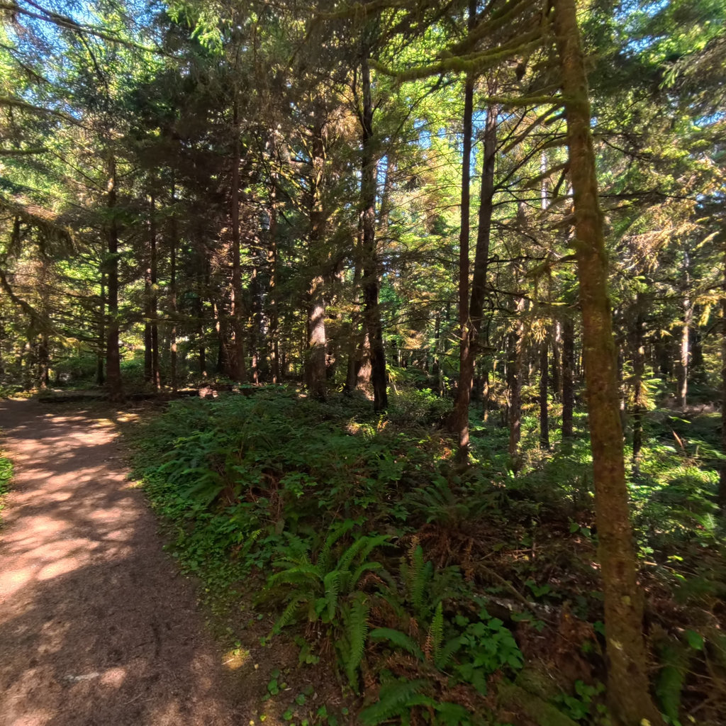
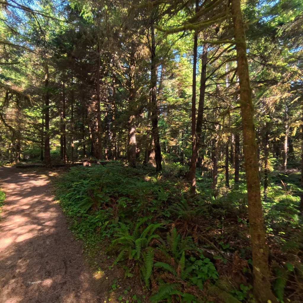
What's at stake, from the water: Fort to Sea Trail, Fort Clatsop NHP, Oregon.
Existing Terrain360 imagery from a nearby reach — a preview of the public-access value that buffer protection along the Joint Base Lewis-McChord corridor would keep open.
Joint Base Lewis-McChord Sentinel Landscape.
Joint Base Lewis-McChord sits inside a federally designated Sentinel Landscape — a Department of War / USDA / Department of the Interior partnership that aligns military readiness, working-lands conservation, and natural-resource protection on the same geography.
Designation makes this installation eligible to host RARI-funded recreation projects (the NPS-administered Readiness and Recreation Initiative) without satisfying the REPI-POA requirement — a direct funding pathway for protecting and documenting this corridor.
The documentation layer
The record that backs the protection case.
Protecting the corridor is the goal; this is the documentation that supports it — baseline conditions and public-access value the partnership can reuse for REPI reporting, grant applications, and outreach.
Geo-referenced baseline dataset
Equirectangular panoramas + GPS tracks delivered to the installation INRMP team and the NPS Trail Office — documenting baseline conditions for REPI reporting, ESA Section 7, easement monitoring, and outreach.
Hosted 360° portal
Web-based interactive map showing pan-and-explore imagery of both riverbanks and every mapped trail. Mobile + desktop. Embeddable in any partner site.
Printable corridor maps
Asset index keyed to the imagery - suitable for visitor information, grant deliverable documentation, and partner co-branding.
L&C interpretive layer (optional)
Waypoint overlay tying the corridor to journal entries and historic sites - Tower Rock, Gates of the Mountains, the Falls portage, the Pacific arrival.
Asset inventory
What the corridor protects.
Each row is a recreation asset inside the buffer corridor — the public access and habitat a REPI/RARI easement would keep open.
| Recreation asset | Type | Miles | LCNHT | Access |
|---|---|---|---|---|
| Nisqually River Water Trail Borders base | River | 40 | Near | Public |
| Lower Columbia at Ilwaco / river mouth ~110 mi SW | River | 15 | Direct | Public |
| Capitol State Forest (OHV + hiking/MTB) ~20 mi | Trail | 150 | None | Public (Discover Pass) |
| Cape Disappointment — L&C Discovery Trail + North Head ~110 mi SW | Trail | 16 | Direct | Public |
| Billy Frank Jr. Nisqually NWR trails/estuary ~12 mi | Trail | 4 | Near | Public |
| McLane Creek / Mima Falls (Capitol SF) ~18 mi | Trail | 6 | None | Public |
| Luhr Beach / Nisqually Reach access ~15 mi | Access | - | Near | Public |
| Nisqually Park at Yelm Powerhouse (boat ramp) ~12 mi | Access | - | Near | Public |
| Cape Disappointment State Park (interpretive center) ~110 mi SW | Access | - | Direct | Public |
Corridor map
Satellite view of the corridor footprint with the installation, its REPI buffer, and the recreation assets that protection keeps open.
The corridor up close